

I roughly designed a tour course which includes cycling path.
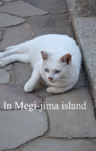
Kobe city------ >Shodoshima (by ferry)
Shodoshima ------> Takamatsu city (by ferry)
Takamatsu city------> Kojima city (by train)
Kojima city------> Tamano city (by bicycle)
Tamano city------> Okayama city (by train)
Okayama city------> Onomichi city (by train)
Onomichi city------> Imabari city (by bicycle)
Imabari city------> Matsuyama city (by bus)
Matsuyama airport------> Itami Airport (Osaka)
http://maps.google.co.jp/maps/ms?ie=UTF8&hl=en&msa=0&msid=116572915995856921863.00046095f182a83156dd0&ll=34.966999
(Above illustration is from the CD attached to the Book 'Selections from figured paper in Kyoto and Japanese patterns' published by Impress Japan.)


